
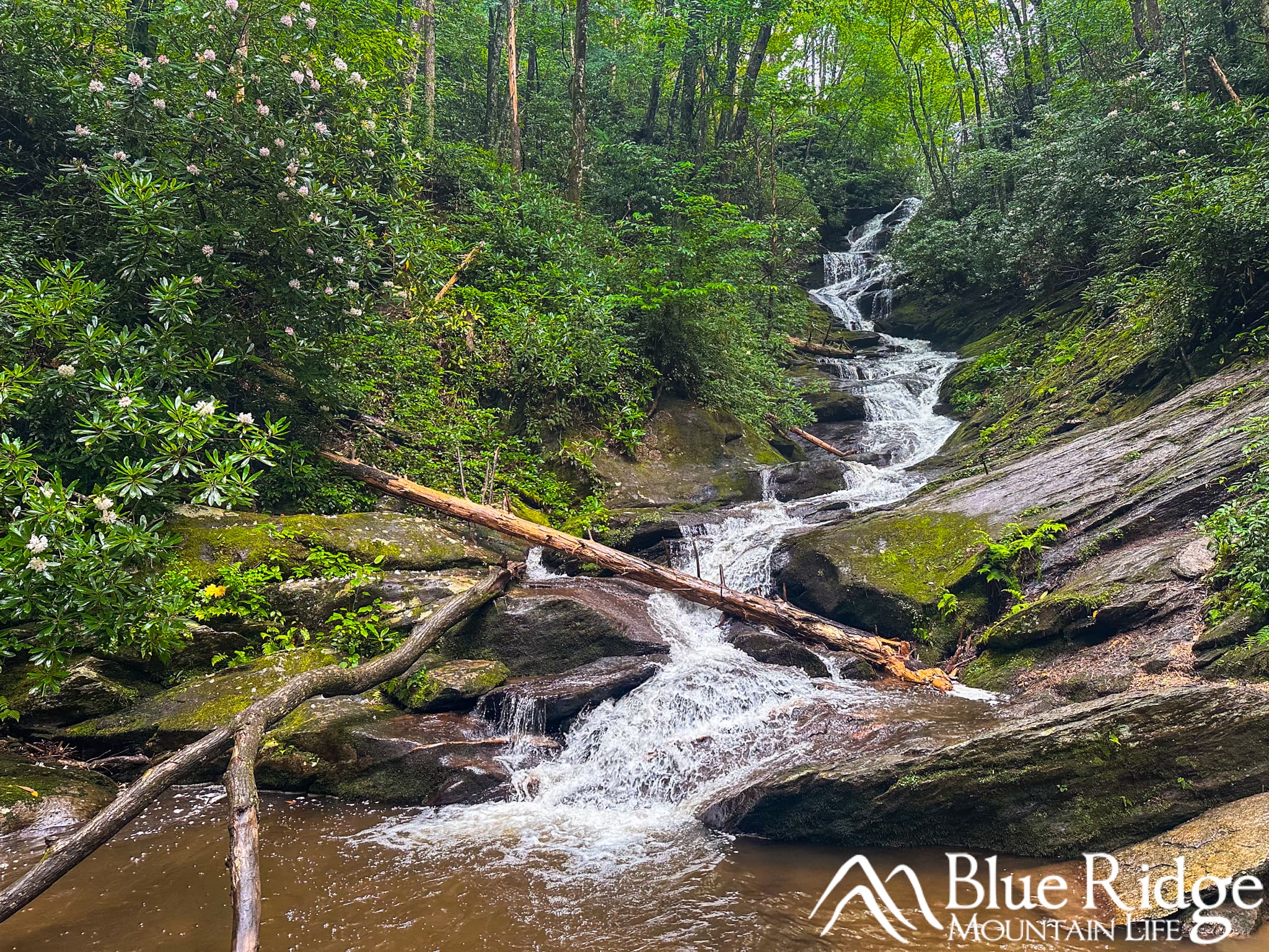
Roaring Fork Falls is one of the most beautiful and easiest waterfalls to visit near Burnsville, North Carolina. Located in Pisgah National Forest near the base of Mount Mitchell, the waterfall is reached by an easy 1.4-mile round-trip hike along an old Forest Service road.
The trail climbs gradually through a shady mountain forest before ending at a long, narrow cascade surrounded by moss-covered rocks, rhododendrons, and enormous boulders. Instead of making one large vertical drop, Roaring Fork tumbles and slides through a series of smaller cascades, creating one of the prettiest waterfall settings we’ve encountered in the Blue Ridge Mountains.
It is also only a few miles from the Blue Ridge Parkway, making it an excellent addition to a day spent exploring the Parkway, Mount Mitchell, or the Burnsville area.
Need to Know |
|---|
Location: Pisgah National Forest near Burnsville, NC, approximately 2.2 miles from the Blue Ridge Parkway on NC Highway 80 |
Accessible: No. Much of the hike follows a wide gravel road, but the surface is uneven, and the final approach contains rocks and roots. |
Dog Friendly: Yes. Keep dogs leashed and under control. |
Distance: Approximately 1.4 miles round trip |
Difficulty: Easy to Moderate |
Features: Waterfall, shaded forest, creek views, rhododendrons, large boulders, historic concrete storage bunkers, and an old Forest Service road |
Directions: From Burnsville, travel east on US 19E for approximately 4.3 miles and turn right onto NC Highway 80. After about 0.6 mile, turn right to remain on NC 80. Continue for approximately 11.6 miles. After passing the Mount Mitchell Golf Club, turn right onto South Toe River Road and follow the signs for Roaring Fork Falls and the Busick Work Center. From the Blue Ridge Parkway near Milepost 344, take NC Highway 80 north toward Burnsville. Continue for approximately 2.2 miles and turn left onto South Toe River Road. Follow the signs for Roaring Fork Falls and the Busick Work Center. At the stop sign, turn right and then take the first left onto Busick Work Center Road. Continue until the road ends at the small parking area. The trail begins behind the gate on the right. |
2026 Updates
As of July 2026, Roaring Fork Falls Trail is open. The U.S. Forest Service reopened the trail in May 2025 after it had been closed because of damage from Hurricane Helene.
Nearby Setrock Creek Falls and Black Mountain Campground remain closed because of storm damage. Other roads and trails within the South Toe River area may also have closures or limited access. Follow all posted signs and gates, and check current U.S. Forest Service conditions before visiting other destinations in the area.
Our Video
Here is our Burnsville, NC video where you can hike out to Roaring Fork Falls with us:
Why Hike to Roaring Fork Falls?
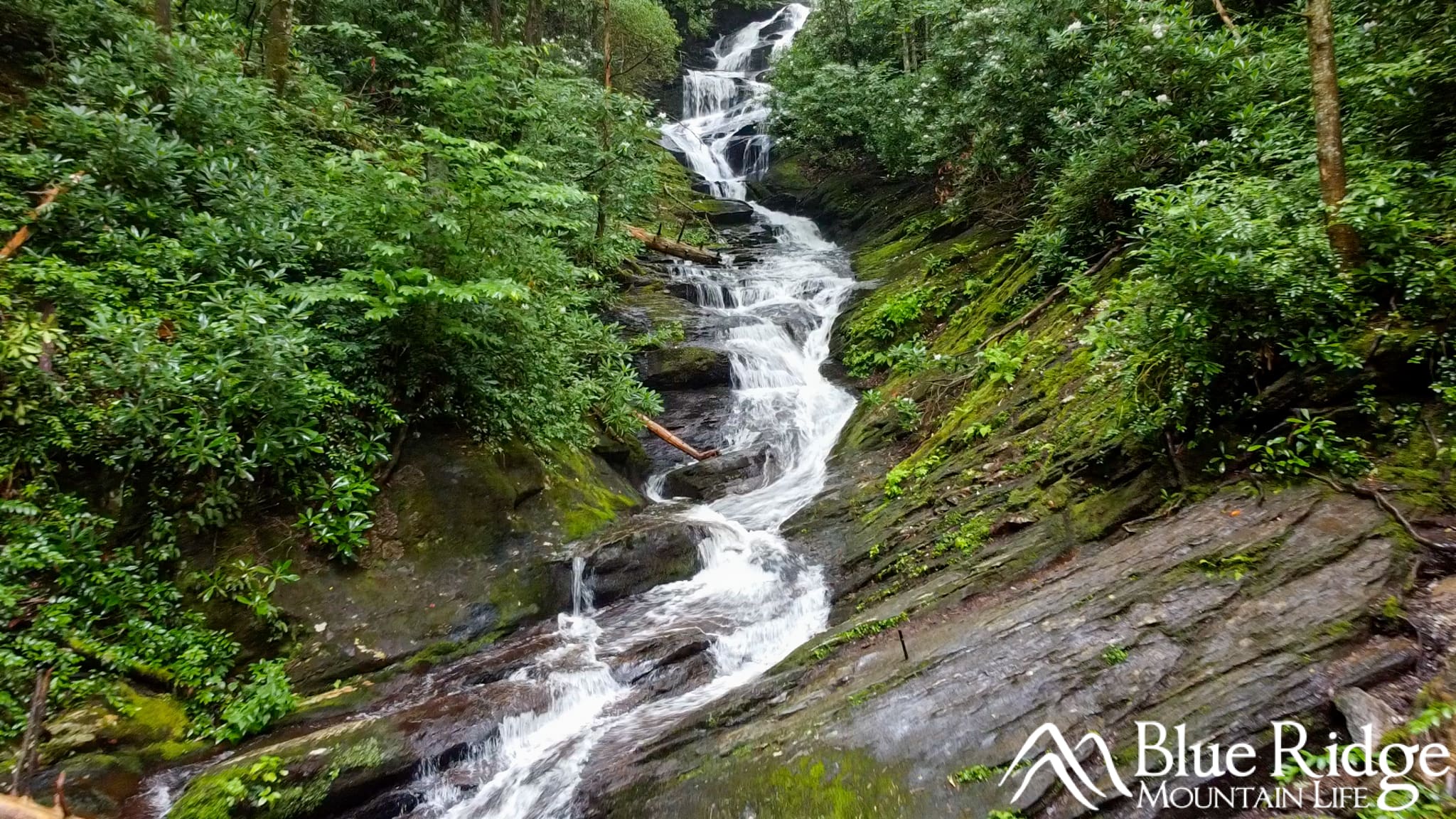
Roaring Fork Falls is an excellent choice for families, casual hikers, and anyone looking for an impressive waterfall without a long or difficult hike.
Most of the hike follows a wide gravel road through a heavily wooded section of Pisgah National Forest. The climb is gradual, the route is easy to follow, and there are no creek crossings or particularly steep sections.
The waterfall itself is what makes this hike special. Roaring Fork Falls flows through a narrow, rocky channel filled with moss, rhododendrons, and enormous granite boulders. The surrounding forest gives the falls a secluded and almost tropical appearance during the warmer months.
Water flow can vary considerably depending on recent rainfall. The falls is especially impressive following a period of steady rain, but the trail and rocks around the waterfall will also be wetter and more slippery.
Hiking to Roaring Fork Falls
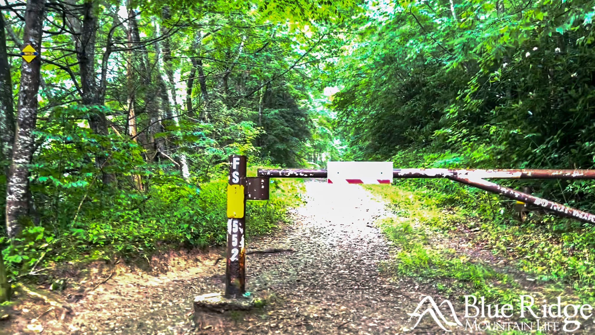
The hike begins behind the gate across from the small parking area near the Busick Work Center. Look for the Roaring Fork Falls trail sign and follow the wide gravel road as it climbs gently into the forest.
Although this feels more like walking along an old road than a traditional hiking trail, the surrounding forest is beautiful. The tree canopy provides plenty of shade, making this a comfortable hike during the warmer months.
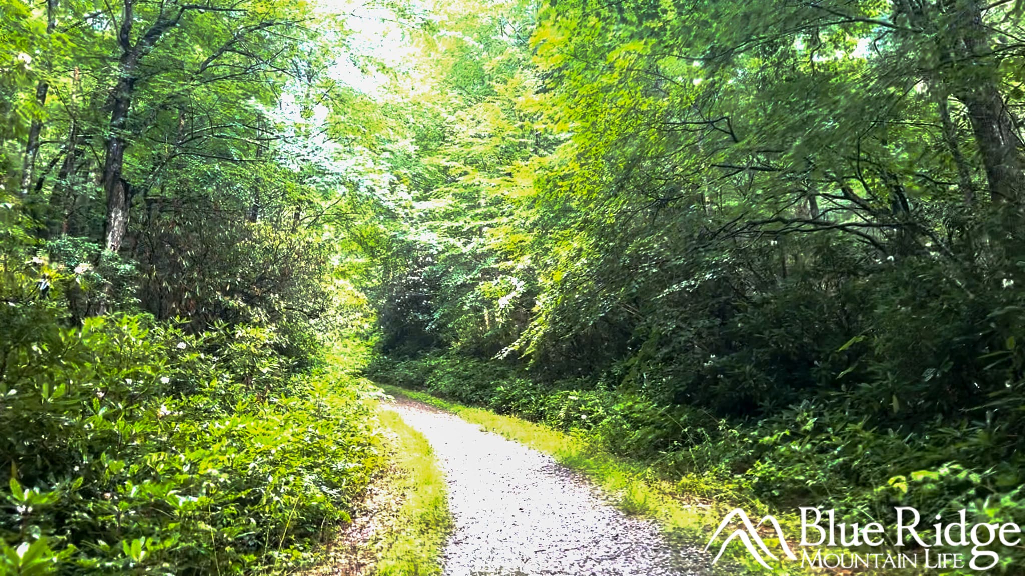
As you continue, Roaring Fork Creek will be below you on the left. You will often hear the water before you get a clear view of it through the trees.
Along the way, you’ll pass two unusual concrete structures beside the trail. These are old storage buildings that were once used to safely store explosives during construction work in the area. The doors have been removed, but the structures remain as an interesting reminder of the area’s past.
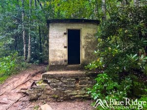
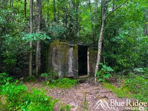
Continue following the road for approximately 0.6 mile. Near a small bridge, look for a trail branching off to the right. This final portion leaves the wide gravel road and follows a narrower path toward the waterfall.
The last stretch is short but contains more exposed roots, rocks, and potentially muddy areas. You’ll soon begin to hear the waterfall ahead before arriving at its base.
Roaring Fork Falls
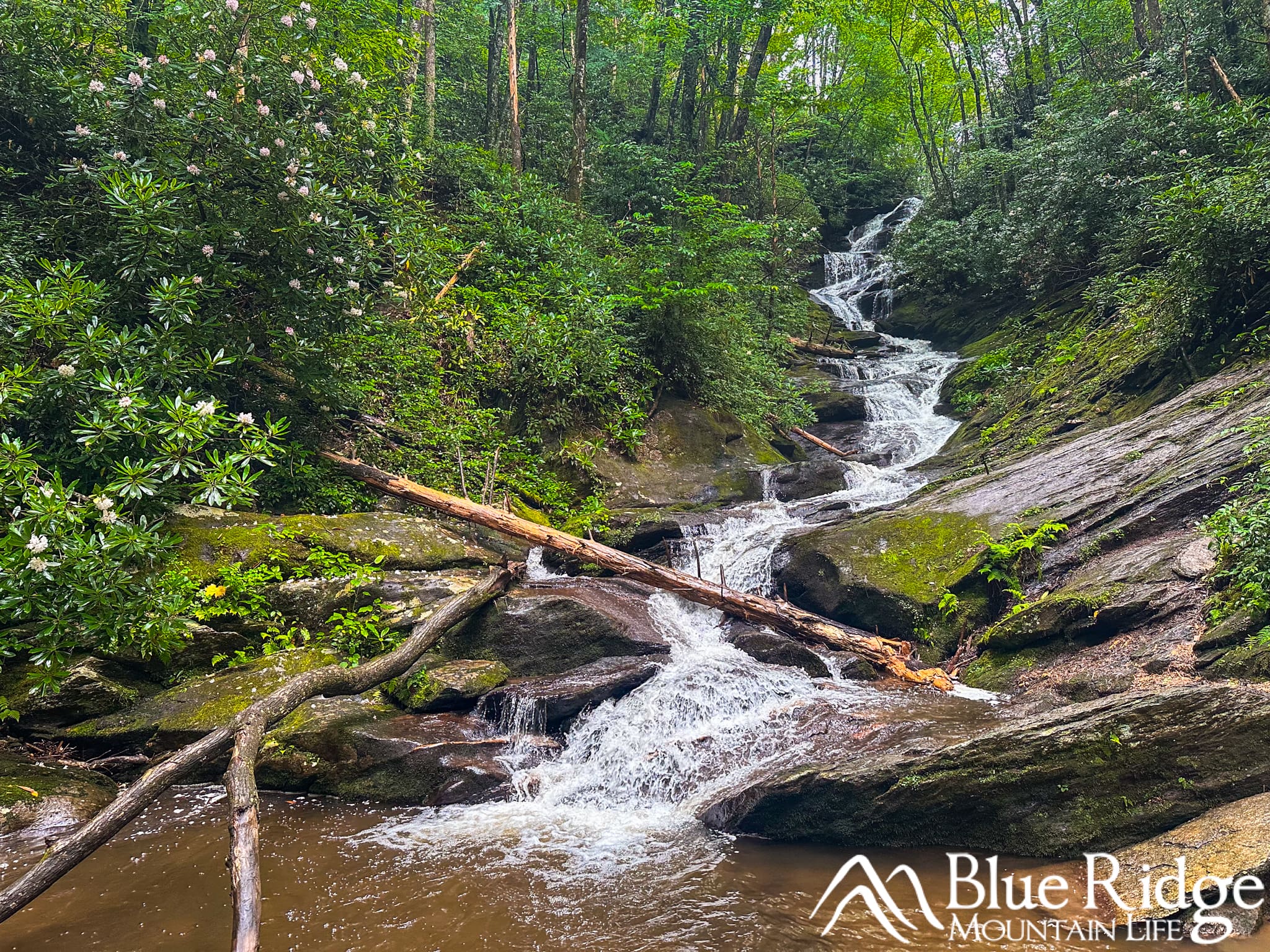
Roaring Fork Falls is a long cascade rather than a single vertical drop. Published height estimates vary because some measurements refer to the vertical drop while others measure the full length of the sloping cascade.
The water travels down a narrow, zigzagging channel, flowing over dark rock ledges and around large boulders before reaching the creek below. Rhododendrons, moss, and thick forest surround the waterfall, creating a beautiful setting for photography.
There are several places near the base where you can sit, relax, and enjoy the falls. The immediate viewing area is relatively small, however, so it can feel crowded when several groups arrive at the same time.
Use extreme caution around the waterfall. The rocks are steep, wet, and often covered in moss. Do not attempt to climb alongside the falls or scramble toward the upper cascades. These rocks can be much more slippery than they appear.
While there is water at the base, Roaring Fork Falls is not what we would consider a true swimming hole. The area is generally shallow, rocky, and better suited for enjoying the scenery and cooling your feet.
You'll return the same way you arrived.
Tips for Visiting Roaring Fork Falls
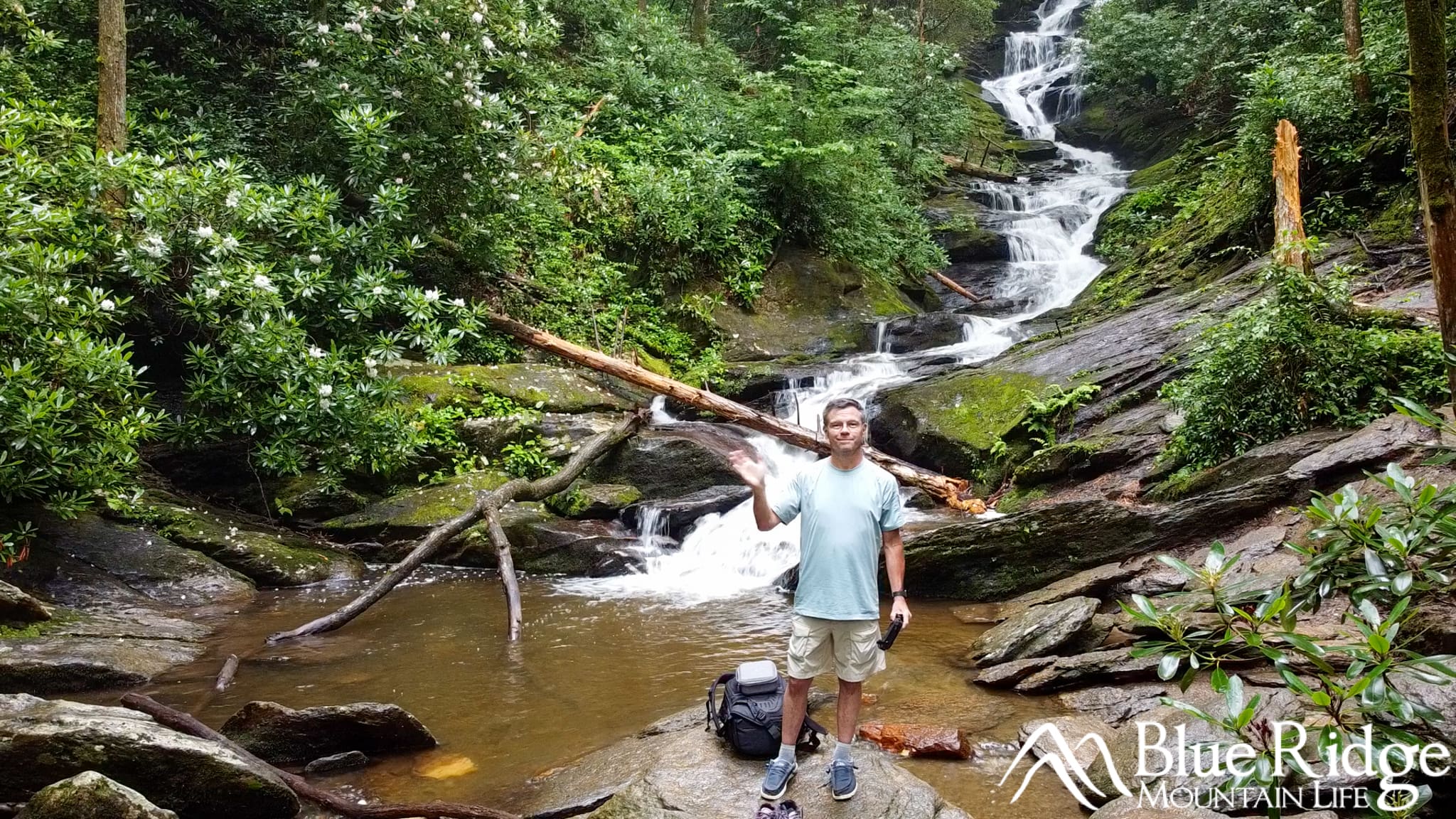
Here are a few tips when visiting Roaring Fork Falls:
- Parking at the trailhead is very limited. Arrive early during summer, fall, and on weekends. If the parking area is full, return later rather than parking along the narrow road or blocking the Forest Service gate.
- Wear shoes with good traction (something a little better than Hey Dudes ...). The gravel road is easy to walk, but the final approach and the area around the falls can be muddy and slippery.
- Bring water, even though this is a short hike. There are no facilities, water fountains, or restrooms at the trailhead.
- Roaring Fork Falls is most impressive after recent rainfall, but avoid visiting during severe storms or periods of flooding.
- Keep children close at the waterfall. The trail is family-friendly, but the slick rocks and steep terrain beside the cascade are not.
- Pack out everything you bring with you and help keep this beautiful area clean. Always Leave No Trace.
Where to Stay When Visiting Roaring Fork Falls

Historic and restored NuWray hotel
Burnsville is our top recommendation for anyone visiting Roaring Fork Falls. Downtown Burnsville is about 30 minutes from the trailhead and provides convenient access to Pisgah National Forest, Mount Mitchell, the Blue Ridge Parkway, and other outdoor destinations in Yancey County.
Burnsville also has an excellent selection of locally owned restaurants, art galleries, shops, vacation rentals, inns, and historic accommodations.
We’ve personally stayed at both the historic NuWray Hotel and the Terrell House Bed and Breakfast. Each offers a comfortable stay within walking distance of downtown shops, restaurants, and the Burnsville Town Square.
See our complete Burnsville Travel Guide for our lodging recommendations, restaurants, and favorite things to do.
