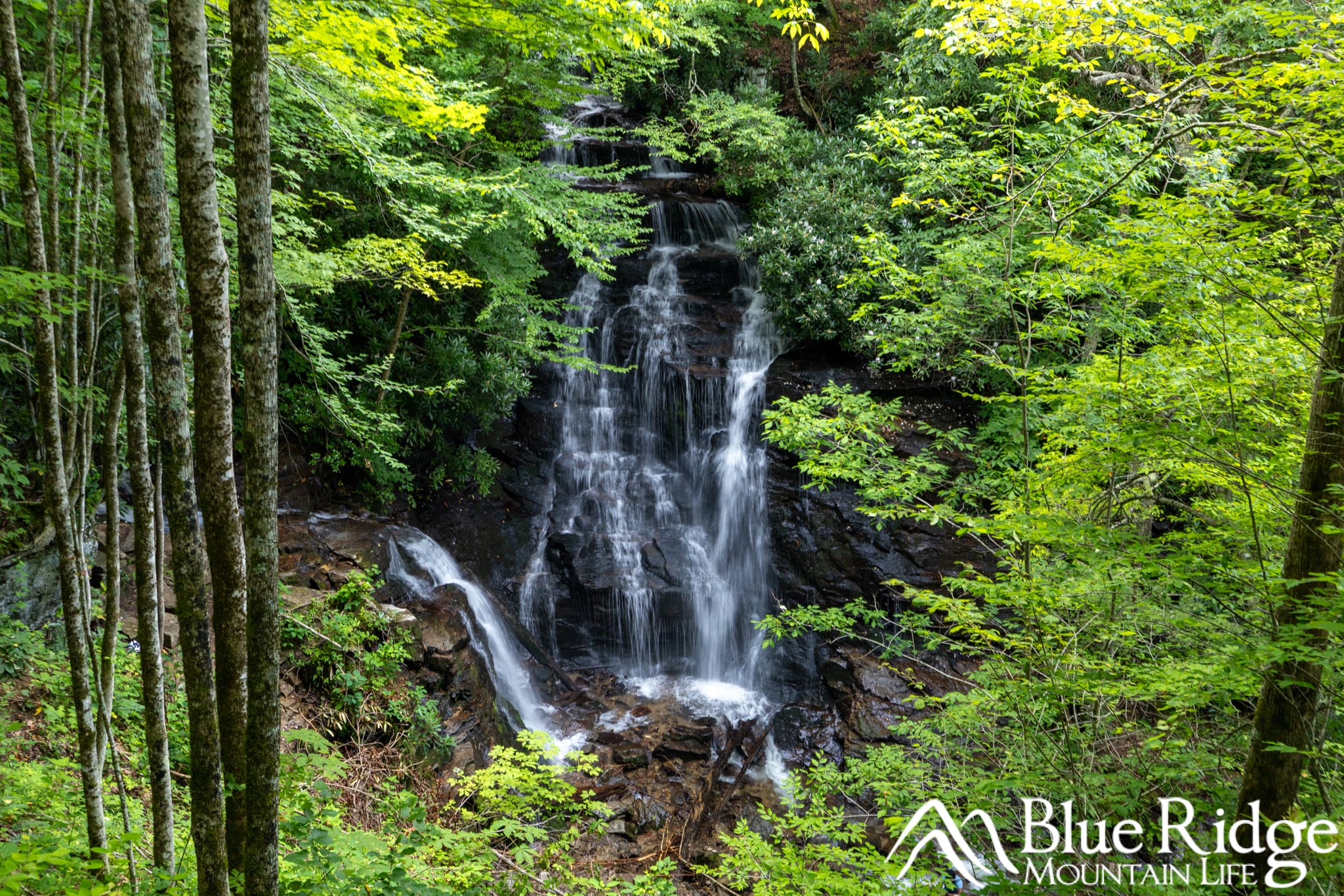
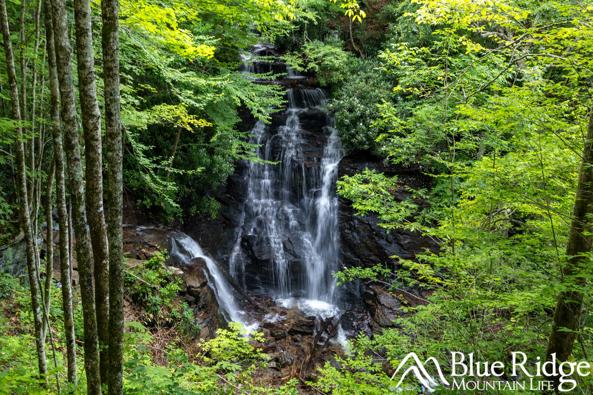
For years, Soco Falls was a hidden gem—easy to miss and often overlooked by travelers cruising along Highway 19 between Cherokee and Maggie Valley, NC. But after a nearly 7-month closure, this stunning twin waterfall is once again open to the public, now with major improvements including a brand-new trailhead, expanded parking, and upgraded viewing decks.
Curious what’s new and why it’s worth the stop? Keep reading—we’ll show you everything that’s changed and why Soco Falls belongs on your must-visit list.
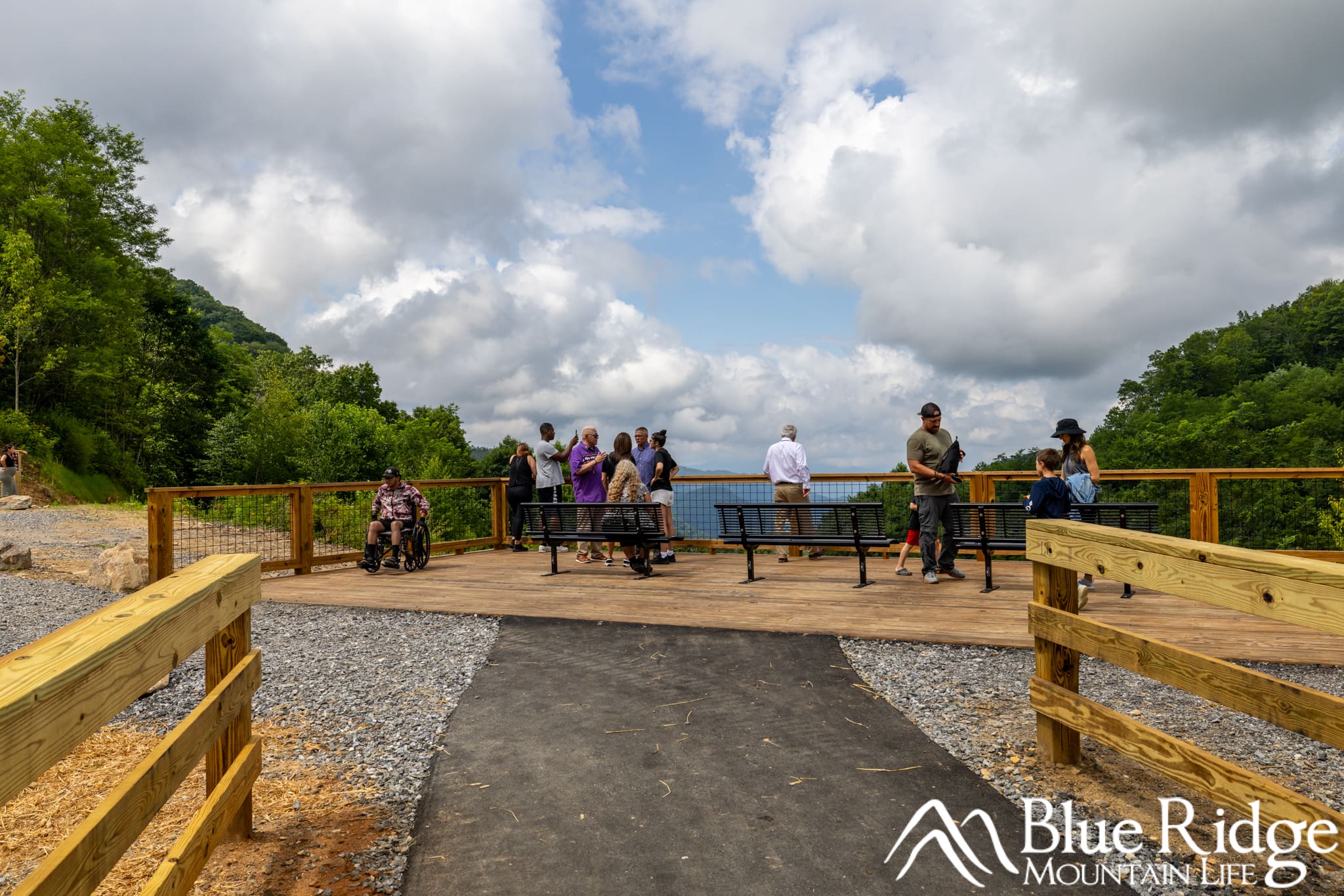
Updated 7/23/2025 - Soco Falls is officially reopened with a new parking area, accessible parking, accessible viewing deck, and a new trail down to the lower viewing deck and falls.
What You Need to Know
Location: Off Highway 19 between Cherokee, NC and Maggie Valley, NC
Round-trip Distance: .5 miles (About 30 minutes total)
Difficulty: The trail to falls is moderate, with a small section being strenuous.
Wheelchair accessible: Yes to the upper viewing deck, but the trail to the falls is not accessible.
Dog Friendly: Yes
Features: Hiking trail, double waterfall, upper/lower observation deck, picnic tables
Directions: From Maggie Valley, head towards Cherokee on NC 19. Cross under the Parkway, and about 1 mile down 19, you'll see a large parking area on the left with signs for Soco Falls. From Cherokee, head towards Maggie Valley on US19. From the intersection of US19 and Highway 441, Soco Falls is about 10 miles out US19 on the right.
Recommended Gear: Bring your camera, some water, and if you're hiking, bring good hiking shoes or boots.
Soco Falls NC
Soco Falls is just a short drive off the Blue Ridge Parkway near Soco Gap, and it's now better than ever after a major renovation.
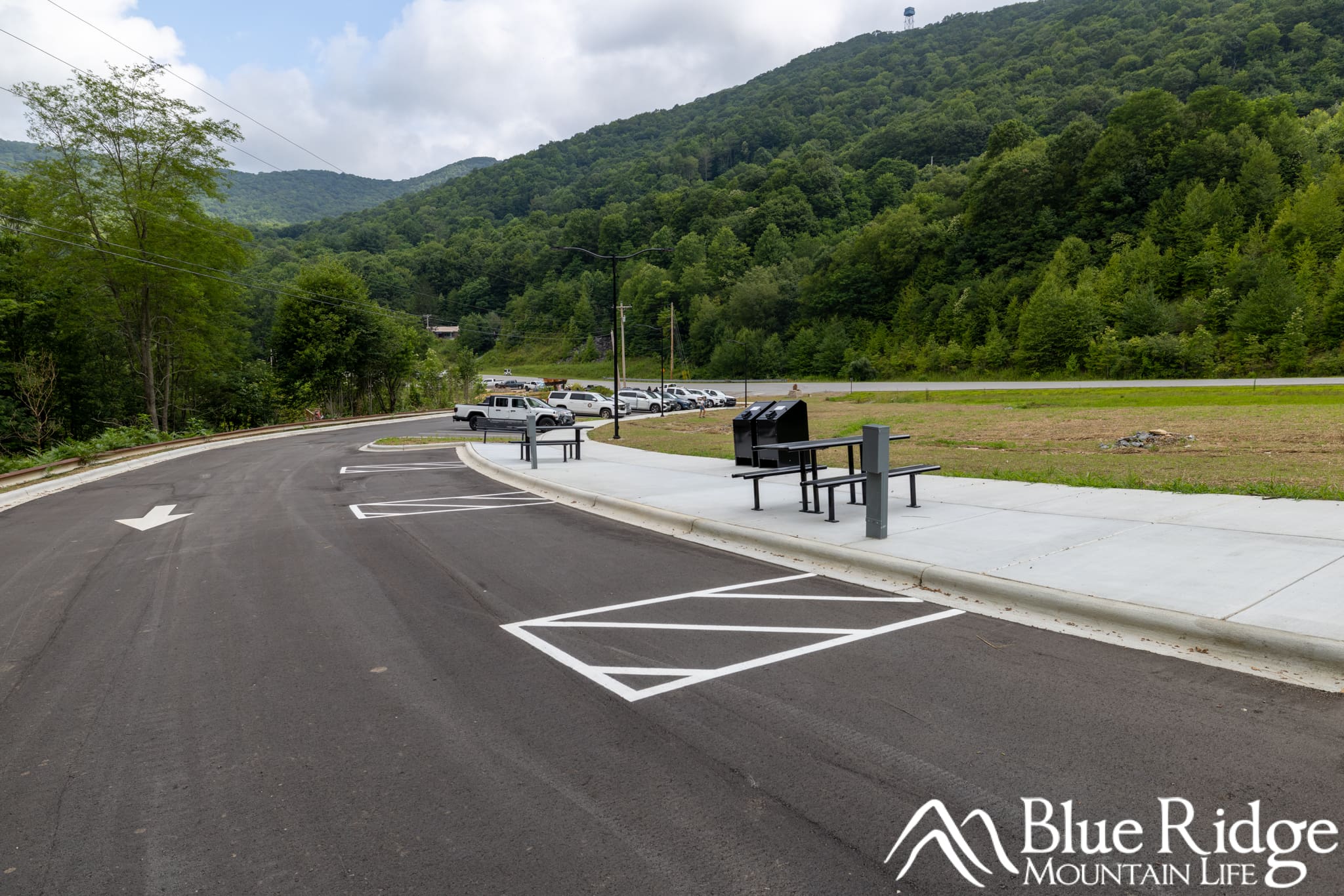
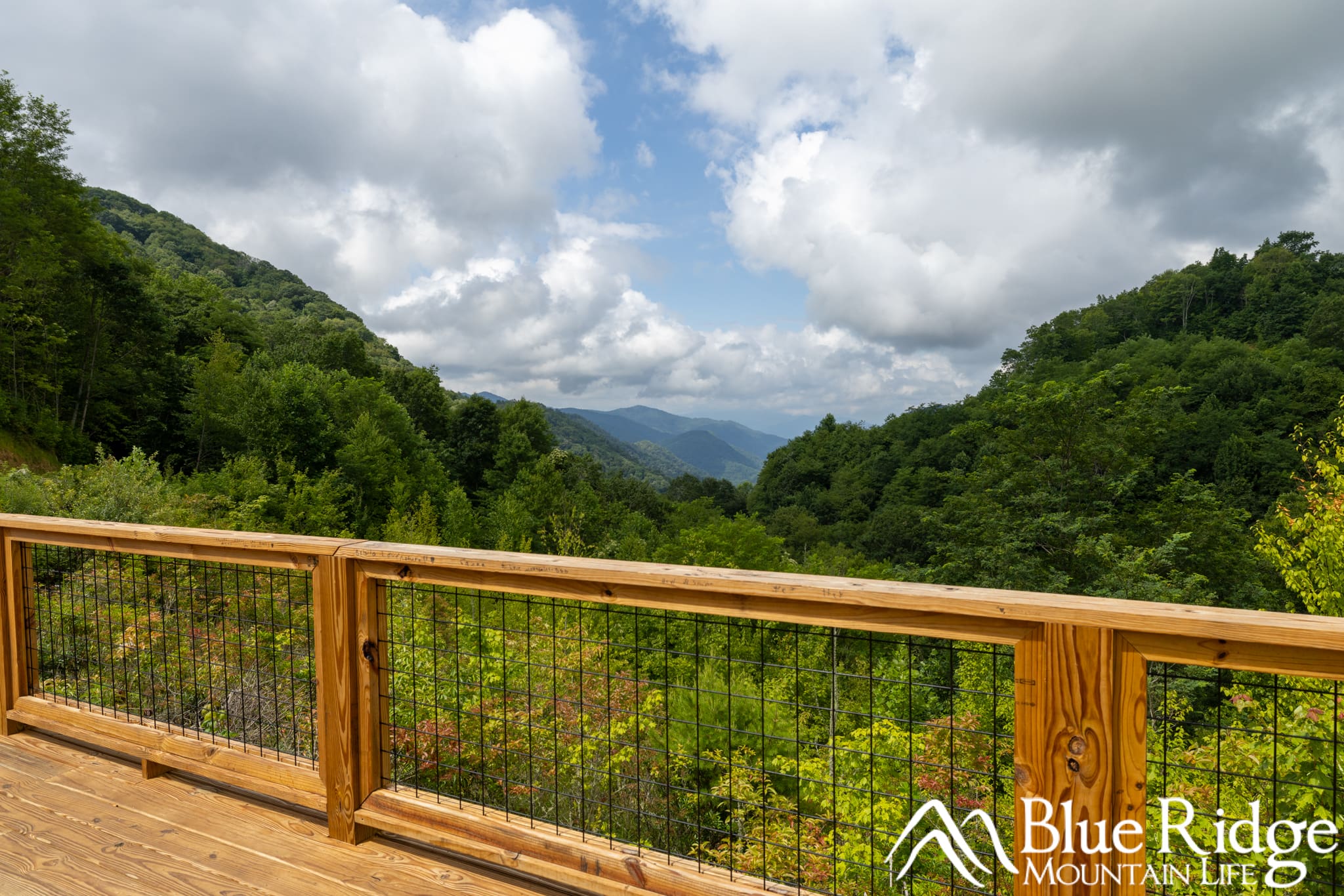
The trailhead has moved slightly up Highway 19 (toward the Parkway), with a new and much larger parking area that includes picnic tables and benches. From the accessible parking area, you'll find a short paved path leading to an upper viewing platform that’s now fully accessible and offers views of both Soco Falls and the surrounding mountains.
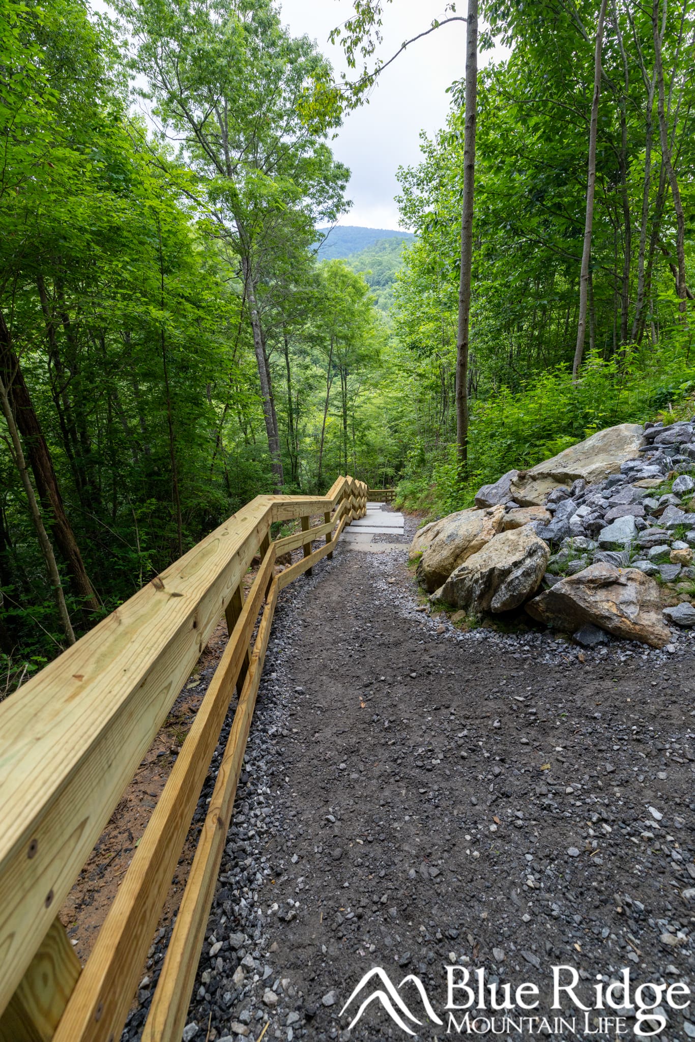
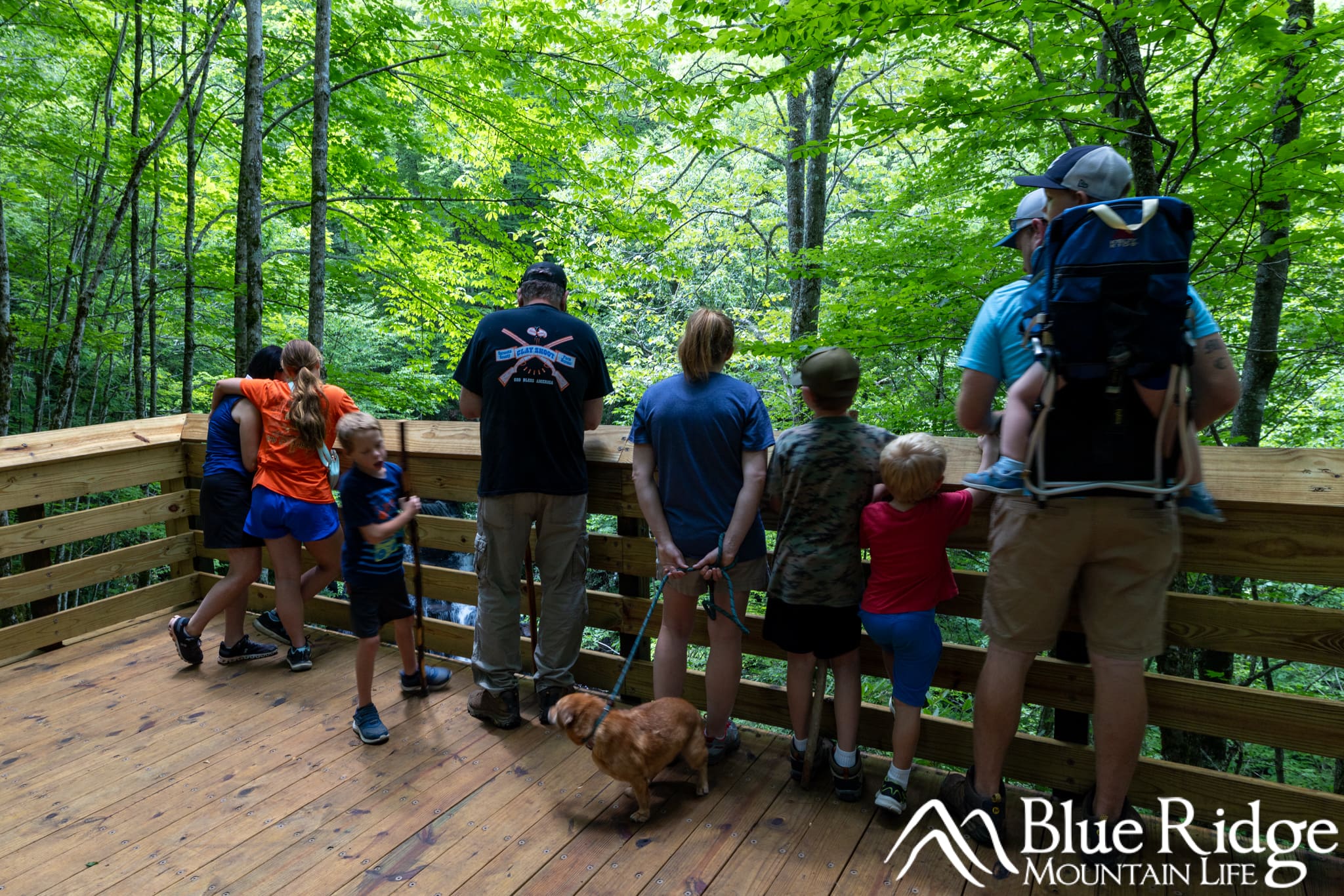
For those wanting a closer look, a new trail leads down to the lower viewing deck for the falls. It’s a beautiful spot, and the upgrades make it easier and safer to reach. At the improved lower viewing deck, you'll find benches and a nice view of the falls.
The trail down to the base of the falls is now closed.
Parking and arriving at Soco Falls
The trailhead and parking area for Soco Falls has been relocated about half a mile up Highway 19 toward the Blue Ridge Parkway. The new lot is significantly larger and offers both pull-in and parallel parking spots—making it far easier to find a space, even during busy times. You’ll also find picnic tables, trash cans, and even electrical connections near the picnic tables.
Beyond the added space, the new parking area is a big upgrade in terms of safety and accessibility. It’s easier to enter and exit, and a much more welcoming starting point for your visit to the falls.
Accessible Parking Area and Viewing Deck
Also new is an accessible parking area and viewing platform, located directly off Highway 19—just before the Soco Falls sign if you're coming from Cherokee.
From the designated accessible spots, a paved path leads to a spacious viewing deck with sweeping views of the surrounding Cherokee mountains. While this platform doesn’t overlook Soco Falls itself, which sits lower in the valley, it’s still a beautiful spot to take in the scenery and enjoy the fresh mountain air.
Hiking Down to Soco Falls
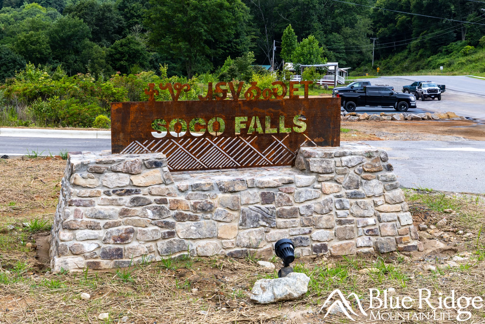
From the new main parking area, follow the paved sidewalk down toward the crosswalk. Along the way, you’ll pass benches and picnic tables—perfect for a quick rest or picnic before or after your hike. At the crosswalk, you’ll cross the entry road. Look to your right for the new, easy-to-spot Soco Falls sign, and straight ahead for an informational kiosk.
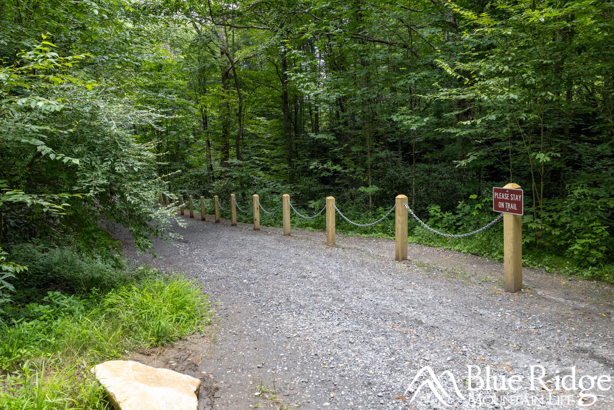
The trail to the falls begins on your left down a gravel path.
The hike is about 0.5 miles round-trip and rated moderate due to the steep incline, decline, and stairs. The first section is the steepest, with a mix of gravel surface and wooden steps. The gravel can be slick, especially when wet, so good hiking shoes are a must. See photo above.
After the first switchback, the trail levels out a bit and runs beside a newly added emergency access road—one of several upgrades that improve safety and response time in the area.
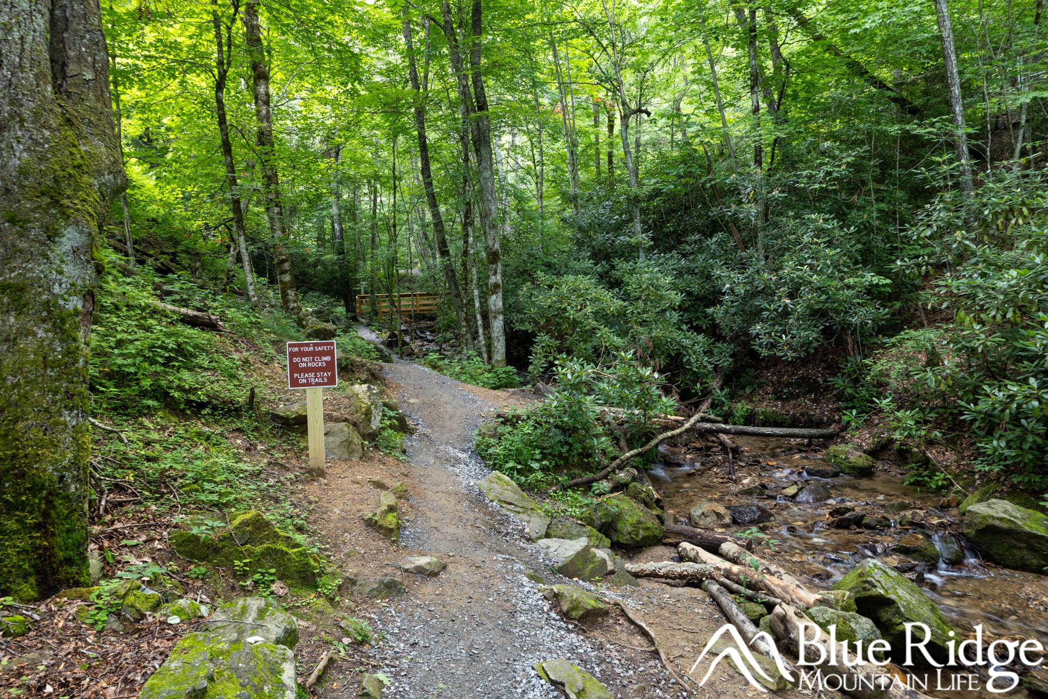
When you reach the road, follow the narrow path on the left side (not the road to the right). This will lead you toward a blocked-off section of the old road. Just before the barrier, the trail curves right and crosses a small bridge over Soco Creek.
From here, those familiar with the original trail will start to recognize their surroundings. The path continues along the creek, leading up to the lower viewing deck.
The deck itself has been repaired and now includes two benches—an especially nice addition. It offers an excellent elevated view of the twin falls as they cascade into the gorge below.
Note: The old scramble trail that once led down beside the falls is now officially closed and has been blocked for safety reasons.
To return to the parking area, you'll hike back the way you came - It's a bit more difficult on the way back up.
Grand re-opening ceremony
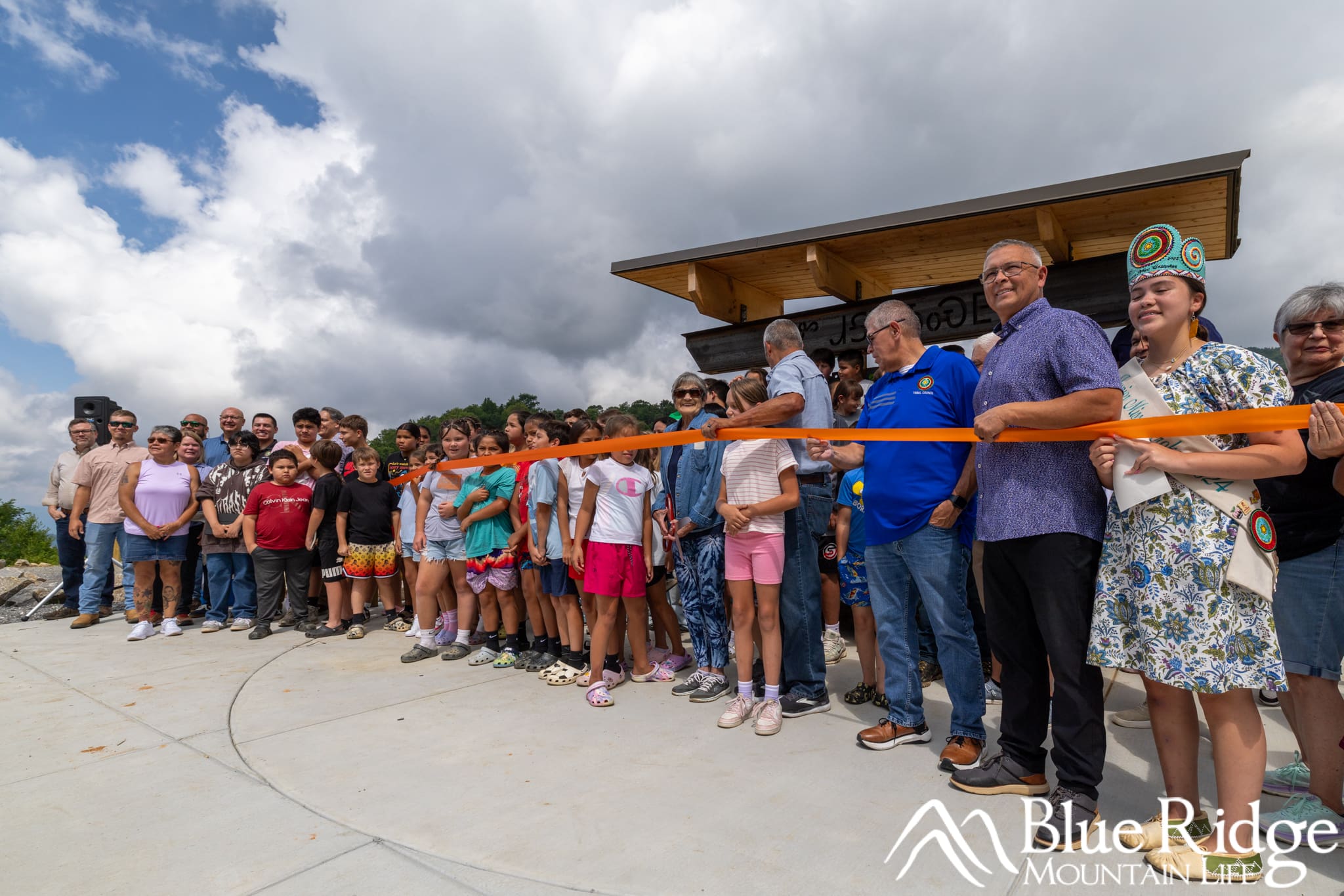
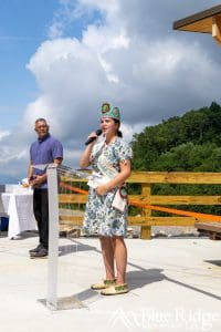
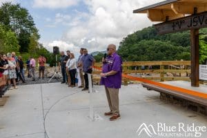
On July 23rd at 11:00 a.m., Soco Falls officially reopened to the public with a heartfelt ribbon-cutting ceremony celebrating the completion of its long-awaited renovations. We attended and really enjoyed it.
The event was attended by various Cherokee leaders and board members who played a role in the project, including both the Vice Chief and Principal Chief, who spoke proudly about the importance of the falls to the Cherokee community and the improvements made.
Members of the press, local residents, and even a busload of schoolchildren were on hand to witness the moment. The atmosphere was filled with pride and emotion as the ribbon was cut—marking not just the reopening of a beloved destination, but the start of a new chapter for Soco Falls.
The Eastern Band of Cherokee Indians emphasized their commitment to preserving natural beauty while ensuring public safety, and their excitement was clear: the improved access, expanded parking, and upgraded viewing areas now offer a much safer and more enjoyable experience for everyone who visits this popular waterfall.


The Future of Soco Falls
During the grand re-opening ceremony, Cherokee leaders shared that the recent improvements to Soco Falls are just the beginning. This project marks phase one of a broader vision to enhance the area for both visitors and the local community.
One exciting announcement was the plan to bring the Mountains-to-Sea Trail (MST) through the Soco Falls area, further connecting this special place to North Carolina’s premier long-distance trail. With this addition, Cherokee has officially become the first designated Trail Town along the MST—a major milestone and point of pride for the community.
Besides the MST connection, future plans include building an additional trail and a lower viewing deck that will provide safe, managed access all the way to the base of Soco Falls. These next phases will offer visitors a closer, more immersive experience with the waterfall, while continuing to protect the natural environment and cultural significance of the site.
The future of Soco Falls is bright—and this beloved destination is only getting better.
Our Waterfall Guides
See our full guides to more than 40 waterfalls in the Blue Ridge Mountains, on our Waterfalls Page. Information, Directions, Photos, Video, and more!
Soco Falls Videos
Here's a video of the old trail down to the falls. Watch for our new updated video highlighting the improvments coming soon!

